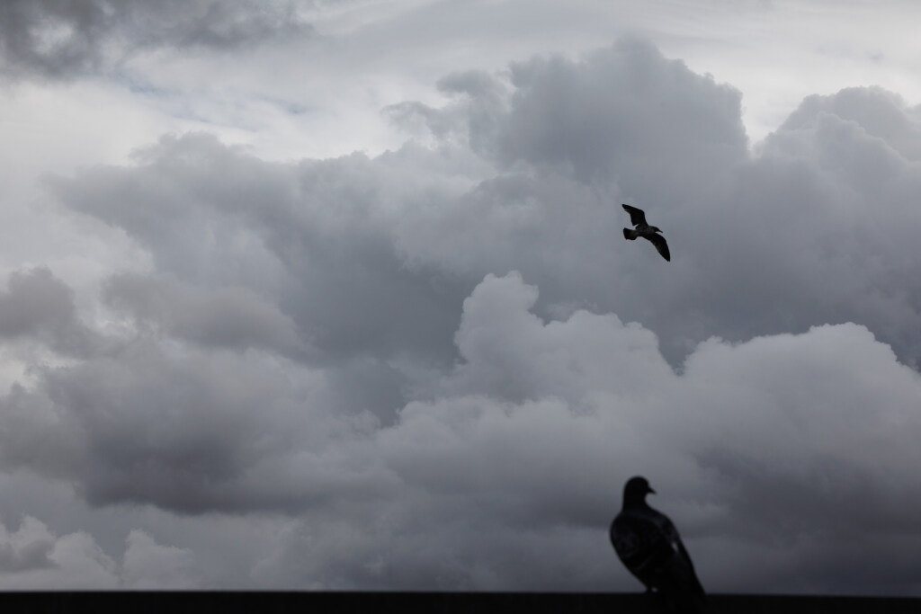
A period of clear, cold days for the Bay Area is nearing the end of its course, according to the National Weather Service, and it’s set to be replaced by wet weather.
Just how much of it and how long it will last was not a prediction forecasters were eager to put in pen on Friday, but they said it has the potential to stick around for the entire week before Christmas.
Related Articles
Spare the Air alert issued for Friday; rainy weather to arrive this weekend
Fog and flooding advisories issued for parts of the Bay Area
Let it snow: Free, one-day winter wonderland planned for East Bay park
Sunny weekend ahead for Bay Area after midweek showers clear
Storm tracker map: Where it’s raining in the Bay Area
“Once the rain starts, there’s not going to be a whole lot of stopping,” NWS meteorologist Brayden Murdock said Friday morning. “But it’s a bit of a challenge to predict just how much is going to fall from start to finish. The odds are that we’re probably going to get pretty wet.”
Such weather is expected to provide some cleansing for the dirty air that was expected to hover over the region at least through Sunday. Bay Area air officials extended a Spare the Air Alert through Sunday, meaning no wood-burning or fires of any kind are allowed.
Rain predictions have been somewhat murky for local forecasters during the fall, and Murdock said putting an inch total on what may happen next week is unrealistic because of the jetstream with which the developing storm is expected to follow. The speed with which that system moves is one variable in the equation. That another system is expected to ride the tails of the first one is another.
“The next system is really in its formation,” Murdock said. “It’s pushing around just outside the Alaska Basin. The next few days we’ll watch it make its way very slowly toward us. There is the possibility it could continue to slow down.”
Murdock said the region may see drizzly skies by Saturday night and more full-scale rain on Sunday. Forecasters said the system could bring cells of heavy rainfall and possibly thunderstorms.
That storm system is expected to move over land Monday, creating a brief break in the rainy weather until that second system comes down the coast right behind it. That system will not be as strong, Murdock said, but it is expected to drop rain, as long as it doesn’t change its anticipated directory.
“The second one has the opportunity to veer out into the ocean,” he said. “But it’s still looking like a great chance of dropping at least some rain.”


