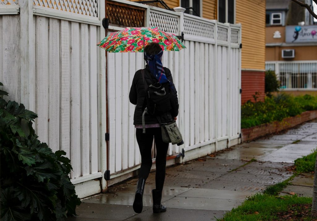
Two storm systems are barreling toward the Bay Area this Presidents Day holiday weekend, threatening rain, high winds and sporadic power outages, according to meteorologists at the National Weather Service.
Mild wind and rainfall will start to impact the region on Saturday evening, when a cold system is forecast to sweep through. Then after a slight respite from stormy weather Saturday night and Sunday morning, a much more intense and warmer storm system will hit and may linger from Sunday evening until Tuesday.
That second system will bring with it much fiercer winds, with sustained winds between 25 and 35 mph, and gusts up to 50 mph.
NWS meteorologist Rick Canepa says that the forecasted windspeeds are not quite as menacing as those during the storm system almost two weeks ago, which knocked out power for tens of thousands of Bay Area residents — “but they’re not too far behind that either,” he said.
Canepa warned Bay Area residents and businesses to once again prepare for power outages, as downed trees or branches could very well knock out power if current forecasts hold.
Rainfall forecasts are not enough to threaten major river flooding in the Bay Area, but totals will still be significant in many spots, with rainfall expected to reach a peak Sunday afternoon and into the evening.
Search your address in the map below to see how much rain is expected in your 72 hour forecast. Click the map to see rain forecasts at that spot. Click the plus to zoom in, and the minus button to zoom out.
In total, San Jose is forecast to get 1 to 2 inches of rain, and Oakland from 2 to 2.5 inches. Parts of the North Bay may get 4 or more inches by Tuesday, and some flooding is also possible.
Canepa warned that the second system is still developing, and there’s a chance it could stall over the Bay Area when it arrives, continually dumping water and pumping up the rainfall totals beyond current forecast estimates.
Meanwhile, skiers heading up to Tahoe on I-80 over the holiday should brace for a whole lot of snow.
A “quick shot” of snow will deposit a few inches of snow at higher elevations of the Sierra on Saturday evening, but the heaviest snow is expected to hit Sunday night and especially Monday morning, according to meteorologist Craig Shoemaker with the National Weather Service of Sacramento. It may continue and slowly peter out by Wednesday evening.
Chains will likely be required on many mountain roadways Monday and Tuesday, with 1 to 3 feet of snow expected to dump along I-80.
Donner Pass could get over 3 feet of snow, but South Lake Tahoe is forecast to get considerably less, with totals of three inches or slightly more predicted by Tuesday.
Search your address in the live snow forecast map below to see how much snow is expected in your 72 hour forecast. Click the plus to zoom in, and the minus button to zoom out.
All the snow will no doubt bolster California’s snowpack figures, which stood at 76% of normal as of Saturday — but weather watchers are advised to take that number with a grain of salt because California’s official snowpack statistics are off by a few percentage points when adjusted to include the impact of climate change.
Staff Writer Ryan Macasero contributed to this report.


