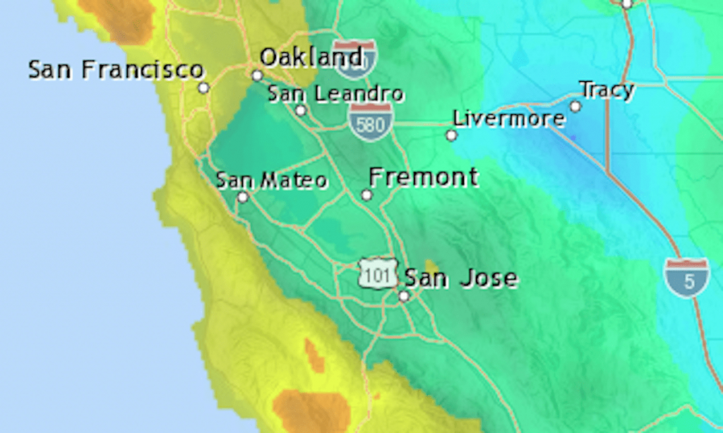
The holiday weekend saw a lot of unsettled weather in the Bay Area but only moderate rain. Most cities got an inch or two — about half of what was recorded during the storms at the start of the month.
Below are the totals for Bay Area locations from Saturday, Feb. 17, through 6 a.m. Wednesday, Feb. 21. The National Weather Service figures are raw numbers, meaning they haven’t been quality-checked for accuracy.
Location
Inches
Peninsula & South Bay
Stevens Canyon
4.41
La Honda
3.45
Rancho San Antonio
3.11
Woodside (Wunderlich)
2.95
Mount Hamilton
2.24
Los Altos (Moody Road)
2.18
San Francisco (Duboce Triangle)
2.15
Edgewood/I-280
2.14
Vasona Lake
2.09
Uvas Reservoir
2.08
San Jose Lynbrook
1.77
Sunnyvale
1.65
Morgan Hill
1.61
San Francisco airport
1.48
San Jose Penitencia
1.46
Redwood City
1.3
San Jose Evergreen
1.06
Mountain View
1.03
San Jose airport
0.9
Palo Alto
0.75
East Bay
Tilden Park
3.77
Mount Diablo peak
3.73
Orinda
2.92
Castro Valley
2.48
Danville
2.28
Dublin San Ramon
2.26
Richmond
2.16
St. Mary’s College
2.1
Rossmoor
1.91
Concord Pavilion
1.9
Lake Chabot
1.8
Union City
1.72
Hayward airport
1.62
Fremont Auto Mall
1.59
Mission Peak
1.55
Brentwood
1.23
Antioch
1.22
South Santa Cruz Mtns.
Sanborn Park HQ
6.8
Ben Lomond Empire Grade
5.92
Highway 17 summit
5.01
Mount Umunhum
4.68
Loma Prieta
4.29
Lexington Reservoir
3.74
Bonny Doon
3.72
Coast Dairies
2.65
North Bay
Fairfax
4.09
Marin Civic Center
3.42
Mount Tamalpais
3.26
Mill Valley
2.01
Tiburon
1.81
Related Articles
For Bay Area, a couple of days of mostly dry weather ahead of possible weekend rain
Los Gatos resident helps neighbors see the light during power outages
Scattered showers Wednesday in Bay Area to give way to sunnier skies later in week
Crazy Monday weather: Sun, rain, wind, repeat on Tuesday
Warnings issued as Bay Area storm blows in; rain expected to linger


