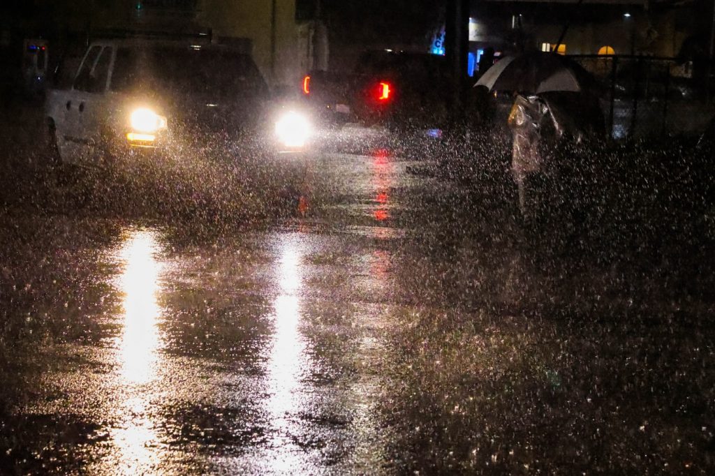
The rainy weather from a giant storm system that has produced an on-and-off fury of showers for days unleashed one final bit of its energy on the Bay Area early Wednesday before the quiet the National Weather Service said is to follow.
“These showers will stick around definitely through the morning commute,” NWS meteorologist Sarah McCorkle said early Wednesday. “As we go through the day, they’ll die down a little bit and start to taper off. Then we get a break on Thursday and Friday.”
Related Articles
Northern California ski resort workers tunnel their way into the office after getting 10 feet of snow
Interstate 80 reopening through Sierra as threat of snow, showers lingers for Northern California
Marin County waterfalls flush as rain keeps coming
Photos: Stranded Bay Area travelers make the best of the Tahoe blizzard as Interstate 80 remains closed
Persistent Sierra blizzard forces Bay Area visitors into a waiting game
The break follows a nearly week-long stretch that has seen heavy periods of rain, followed by small periods of a break and then more heavy rain.
Most of the wet stuff that fell overnight into Wednesday morning happened in the South Bay. Loma Prieta received nearly a half-inch of rain in the six hours before 7 a.m., and a quarter-inch fell in Ben Lomond in the Santa Cruz Mountains, as well as in Los Gatos. In the East Bay, about one-tenth of an inch fell in Oakland.
“This is the last push for this period of rainy weather we’ve been having the past several days,” McCorkle said.
By Saturday, more light rain is possible from a system again migrating from the north. McCorkle said that rain is likely to be heavily focused toward the North Bay and that areas in the East Bay, South Bay and Peninsula are likely to get no more than one-tenth of an inch.
Once that system moves past, McCorkle said there are signs that a long-term dry spell may be in the offing, the kind that tends to signal a farewell to winter and the approach of spring.
“It appears a (high-pressure) ridge is going to start to build next week,” McCorkle said. “That ridge looks like it will be sticking around a little bit, perhaps through the end of March. So we will be entering a dryer pattern in the weeks ahead.”


