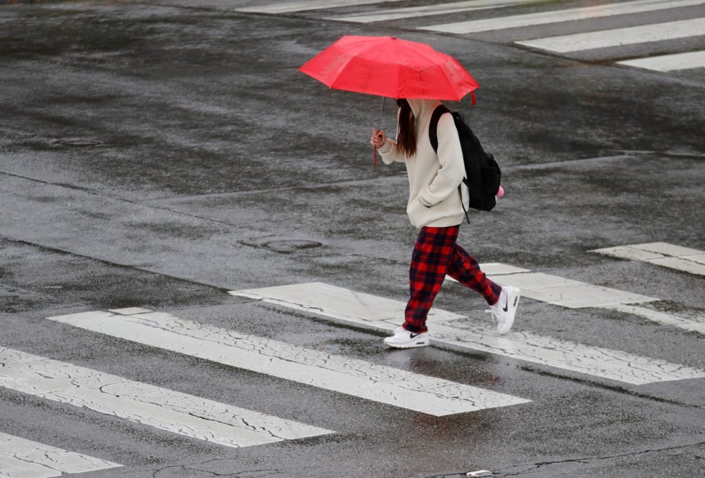
A bit of calm was in the air around the Bay Area as Friday dawned — appropriate, perhaps, given that the first of two weekend storms continued to migrate toward the region.
The first one is expected to hit the North Bay by Saturday morning before another heavier one heads in closer to the central coast on Sunday, according to the National Weather Service.
Related Articles
Light rain falls on most of Bay Area; a new storm is likely to arrive this weekend
Before and after: Sierra Nevada snowpack expands steadily over past month
Bay Area rain map: See where this week’s storms are
Holiday weekend closure of I-680 in Pleasanton delayed because of anticipated Bay Area storms
Two slides hit Highway 1 in a week as Caltrans works on Paul’s Slide repair
The net result? Fears that more that the rain could bring flooding to areas already saturated from previous storms, and power outages from increasingly heavy winds that are expected to gust with more frequency.
“It’s going to be a good soaking,” NWS meteorologist Sean Miller said Friday morning. “We still haven’t really had a lot of time to dry out from the previous systems, so depending how heavy this is, you could see some landslides and some more trees coming down.”
The first system is expected to hit land in the North Bay Area, bringing the heaviest storm activity to that area and “considerably less” to areas in the East Bay and South Bay, Miller said. The second storm is expected to reach lane closer to central California and is expected to have a significant impact everywhere.
The second of the two storms is also expected to bring possible thunder and lightning and may last through Tuesday, according to the weather service.
The systems also are expected to bring snow to the Lake Tahoe region. The weather service issued a winter weather advisory for Saturday into early Sunday when 4-8 inches of snow are expected to fall above 6,000 feet. The agency also issued a winter storm watch from Sunday night into Wednesday, when 2 to 3 feet could fall above 6,000 feet and 4 feet could fall at the mountain tops.
The storms come two weeks after a series of “atmospheric river” systems wreaked havoc in the region, causing three deaths and causing more than a million PG&E customers to lose power state-wide.
“This set up is a bit different,” Miller said. “This time, there’s a big area of low pressure that’s spinning offshore, and it’s sort of stuck out there over the ocean. That’s where the effects for the second storm are going to come. That’s why we expect the second one to be longer lasting.”
The weather service said it remains uncertain just how much rain may fall, though the predicted totals fall between a half-inch and inch could fall Saturday, with more than an inch coming when the second system arrives.
Even when it departs, there’s no telling how long it may be before another wet system arrives.
“Once we get that out of here, there may be a break,” Miller said of the second system. “But it does look like the weather pattern is going to stay unsettled. There’s nothing to suggest we’re going to be high-and-dry when these systems are finished.”


