A subtle, gradual change in the weather pattern continued Thursday, with temperatures in much of the region expected to go up a couple digits higher than on Wednesday, It will maintain that methodical path through the weekend, even as temperatures creep back down for a couple of days.
So it will be that by early next week the heat could feel like 100+ degrees — even though it won’t be.
Related Articles
Battery-powered California faces lower blackout risk this summer
Trees, not asphalt: The $1 billion effort to build ‘cooler’ California school playgrounds
Capitola Wharf, wrecked in huge winter storms, set to reopen after $10 million upgrade
Highway 1 to Big Sur opens to around-the-clock travel as slide repair advances
Water-safety message accompanies rising Bay Area temperatures
“This,” National Weather Service meteorologist Brayden Murdock said Thursday, “is the biggest heat event of the year, so far.”
As heat waves go, it will be mild. Temperatures were not expected to escape the 80s on Thursday or Friday and are expected to peak in the mid-to-high 90s in the hottest spots by next Wednesday. After that, another cooldown is likely.
An upper-level high pressure pattern has gained shape within the region and still is not completely set. Murdock said that means it’s uncertain how long it will take for the heat-up to reach it’s peak and temperatures are more likely to crawl upward instead of leap.
It’s a scenario that create conditions for what Murdock called “sneaky” heat.
“People aren’t used to these temperatures yet,” he said. “So 80 degrees doesn’t seem like it’s that much. But after a winter and spring of 60-degree highs, people just aren’t ready for it.”
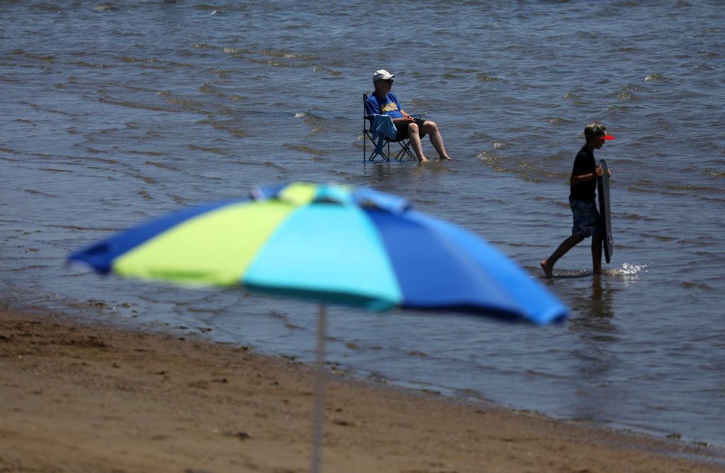
For now, the heat is expected to be most significant in the interior part of the Bay Area. The areas along the coast will continue to benefit from the marine layer. Beaches may be more crowded than normal from those seeking to cool down.
As the second phase of the heat-up hits, the coast may lose some of it’s coastal layer and the morning and night fog may disappear for a few days. The weather service said that’s a perfect recipe for sunburns that are severe and warned the public to make sure they have higher broad-spectrum and water resistant sunscreen.
The entire region also will experience an increase in the overnight lows beginning next week. Lows that have regularly been in the 50s and will stay that way through the weekend likely will bottom out in the 60s early next week, according to the weather service.
“People who are sensitive to the heat need to be aware,” Murdock said. “This is going to be the first taste of it.”


