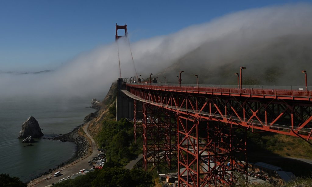
A fog bank showed itself along the Bay Area coast early Monday, the first major sign that the worst of a heat wave that roasted the region is on the backside and that temperatures are beginning to become a bit more normal.
Another sign: The National Weather Service downgraded an excessive heat warning that had been in place since July 2 to an advisory. That was not expected to happen until Wednesday night. The advisory is in place through Friday.
Related Articles
Is it time to cool off? Bay Area temperatures still above normal this week but working their way down
Bay Area braces for 76-year high temperatures, fire danger in scorching heat wave
If you live in this part of the Bay Area, you probably don’t have air conditioning
The Bay Area heat wave’s hottest day is coming Saturday
Bay Area heat wave now to blame for one death, no end in sight
“We’re seeing a bit of a downtrend, especially along the immediate coastline,” NWS meteorologist Rick Canepa said. “That pattern is shifting just a little bit.”
The thick high-pressure ridge that has been in place since last week continued its migration toward the east and west, allowing for the relief, Canepa said. One byproduct of that were overnight temperatures that fell into the 50s in some areas for the first time in more than a week.
The cool-down will be slightly interrupted in the middle of the week by northerly winds and a slight rebuilding of the ridge in the atmosphere’s upper levels, and temperatures will again rise for two days, Canepa said.
Still, that uptick won’t be anywhere near as intense as the peak conditions during a heat wave that broke daily records in some cities that were more than a century old, according to the weather service.
None of them fell Sunday. According to the weather service, the high temperature reached 103 degrees in Brentwood on Sunday, 99 in Livermore, 97 in Concord, 91 in Morgan Hill and 89 in San Jose. The high temperature again was expected to be in triple digits in Brentwood, but the high temperatures in the other cities all were expected to be 3-5 degrees cooler on Monday and Tuesday.
The spike Wednesday and Thursday may take the thermometer back into the 100s in many locations, according to the weather service.
“There are a lot of things going on off the coast, and when it passes over, it’s going to drag come of that hot air back,” Canepa said. “But luckily that will only be for a couple of days.”


