Shorts? Sunglasses? Suntan lotion? Put them away. It’s time for the raincoat again.
Just when the Bay Area was getting used to sunshine and dry days, another week of wet weather is on the horizon. Three separate storm systems will roll into Northern California starting Wednesday, bringing rain nearly every day until the following Wednesday, forecasters said Monday.
The storms won’t be as big or as rough as during the last system, which peaked Feb. 4, causing havoc in Southern California, dumping 5 feet of snow on the Sierra, triggering power outages across the state and prompting flood warnings on the Guadalupe River near downtown San Jose.
“It’s not on the level of what we saw the weekend before last, but there are still good amounts of rain that will be coming our way,” said Brayden Murdock, a meteorologist with the National Weather Service in Monterey. “It will be prolonged rain. And it eventually will add up to being a good amount.”
The first storm Wednesday and Thursday will be particularly mild with less than half an inch of rain in most places. The second, on Saturday and Sunday, will be stronger, with a mild atmospheric river conditions likely. Details on the third storm, which is forecast for next Monday and Tuesday, are still not precise.
But when the storms are finished a week from now, most Bay Area cities will have received another 2 to 3 inches of rain, with the Santa Cruz Mountains, Big Sur and North Bay Hills getting 4 to 6 inches, the National Weather Service forecasts.
Another 1 to 2 feet of snow is likely to fall on the Sierra Nevada next weekend.
So far, this winter is setting up to be nearly perfect in terms of timing and water supply, experts said Monday.
“After getting off to a slow start, we’ve gained a lot of ground,” said Jan Null, a meteorologist with Golden Gate Weather Services in Half Moon Bay.
Reservoirs have risen steadily in recent weeks without the kind of major flooding and damage that occurred in 2017 or during last January and March when waves of strong atmospheric river storms lashed Northern California, resulting in President Biden visiting to survey the damage at Capitola Wharf and Seacliff State Beach in Santa Cruz County.
The Sierra snowpack, source of nearly one-third of the state’s water supply, began this year at 25% of normal. By Monday it had grown to 73% of normal and is likely to continue increasing through the weekend.
Pauses between the storms this winter have been key. Instead of one after another, there have been days of sun to break up the rain. That pattern is exactly what California needs to build up its winter water supply in an orderly way.
“The dry days give everything a chance to recover,” Null said. “Rivers can recover. Emergency services can recover. PG&E can recover.”
California suffered through harsh drought conditions in eight of the past 12 years. Now, none of the state is currently in any level of drought, according to the U.S. Drought Monitor, a weekly report. And the way this winter is playing out so far is significantly reducing the chances of water shortages later this summer.
“Our storage is in really great shape,” said Andrea Pook, a spokeswoman for the East Bay Municipal Utility District, which provides water to 1.4 million people in Alameda and Contra Costa counties.
On Monday, the district’s seven reservoirs were 84% full.
To the north, the Marin Municipal Water District’s seven reservoirs were 100% full. The main reservoir in Santa Cruz County, Loch Lomond, was 100% full.
Hetch Hetchy reservoir in Yosemite National Park, the largest reservoir run by the San Francisco Public Utilities Commission, which serves 2.4 million people in San Francisco, the Peninsula, northern Santa Clara and southern Alameda counties, was 89% full Monday.
In Contra Costa County, the largest reservoir, Los Vaqueros, was 83% full.
The only major Bay Area water district without full, or nearly full reservoirs is the Santa Clara Valley Water District, based in San Jose, where the agency’s 10 reservoirs were just 37% full on Monday. A big part of the reason is that the district’s largest reservoir, Anderson, near Morgan Hill, has been drained for earthquake repairs.
When it comes to the largest reservoirs in California, the critical linchpins of the water supply for millions of urban residents and farmers, nearly all are above their historical averages, boosted by the soaking winter last year.
Shasta Lake, the largest reservoir in California, near Redding, was 83% full on Sunday. It has risen 21 feet in the past three weeks. Lake Oroville in Butte County, the second-largest in the state, was 79% full, having risen 20 feet in the past three weeks.
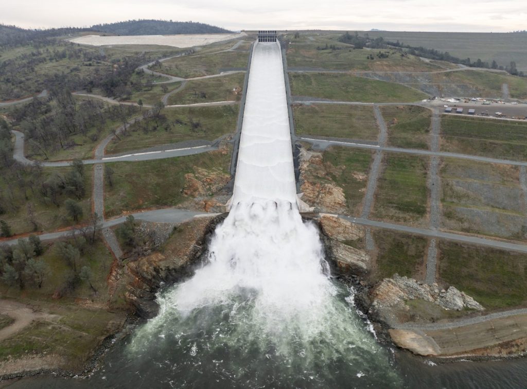
As the last wave of big storms moved in, state and federal officials increased releases from Oroville, Shasta, New Melones and other big dams, to free up space to catch the incoming water and reduce the risk of flooding.
Most of California’s rain and snow falls in the north. It is delivered to the Central Valley, Bay Area and Southern California through a vast network of pumps and canals.
On Monday, a network of eight weather stations in the key watersheds of the Sierra Nevada that fill many of the state’s largest reservoirs, known to water managers as the “Northern Sierra 8-station index,” was at 84% of historical average precipitation.
After years of extreme drought, broken up by other years marked by flooding, normal or close to it is a pleasant surprise for many.
“We are pretty close to averages in a lot of places,” Null said. “This is closer to a typical winter than we have had in the past few years. It’s not as intense as last year, and not as dry as the years before that. We’re in the normal range, and that’s much better than being out on the flanks.”


