What is expected to be a wet week for the Bay Area got underway with showers on Sunday morning.
Related Articles
Up to 4 inches of rain could douse parts of Bay Area. Here’s when it starts
Rain expected in Bay Area by Sunday. Forecasters say it may not stop for a while
Spare the Air alert issued for Friday; rainy weather to arrive this weekend
Fog and flooding advisories issued for parts of the Bay Area
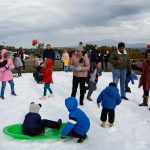
Let it snow: Free, one-day winter wonderland planned for East Bay park
A respite in the evening was forecast, with the next band of rain arriving early Monday.
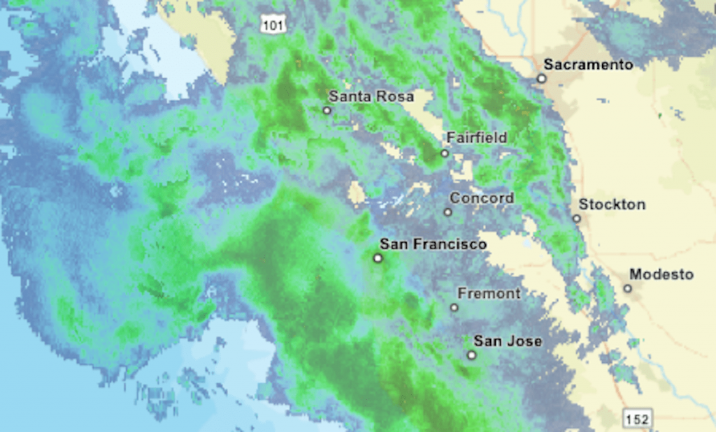
The updating radar map above shows areas of precipitation in green, with greater intensities indicated by yellow and orange.
In the Sierra Nevada, precipitation was expected to arrive on Sunday night. Warm temperatures will keep snow levels above 8,000 feet, the National Weather Service said.
Updates on road closures and chain controls can be found on CalTrans’ website or mobile app or by calling (800) 427-7623.